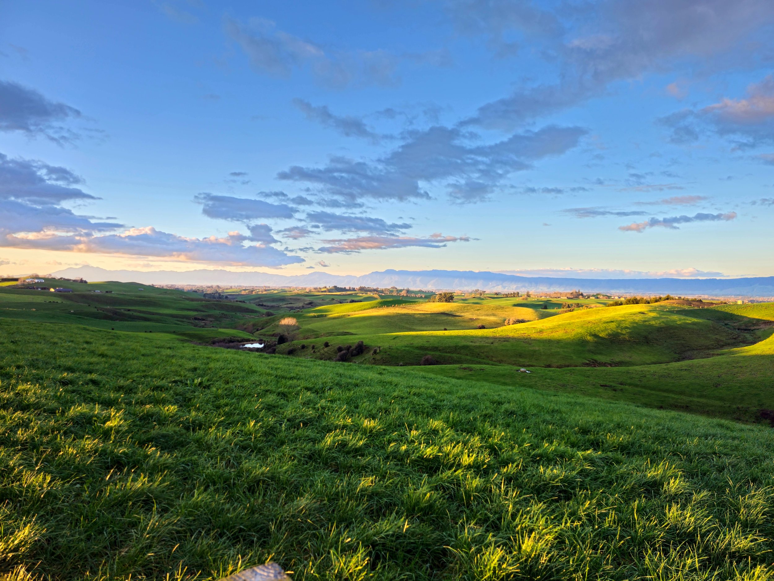
Create and Share Your Farm Maps
To optimize our drone services and provide you with the best possible outcomes, we encourage you to create detailed maps of your farm. These maps help us understand your property's layout and identify specific areas that need attention, such as fields, paddocks, fence lines, or problem spots.
Step 1: Download the DJI Agriculture Platform
To get started, download the DJI Agriculture Platform software using the link below. This software is designed to help you create precise maps of your farm:
V 4.8.0
Requires Android 7.0 or above.
V 4.8.0
Requires iOS 12.0 or above.
Step 2: Create Your Farm Map
Follow the instructions provided in the software to create a detailed map of your farm. Make sure to mark any specific areas of interest or concern that you would like us to focus on during our services. Make sure you add any obstacles or trees before you save your map. DO NOT include non spray areas or waterways as they will not load to our drones at this time.
Step 3: Share Your Map with Us
After completing your map, sharing it with us is simple. Just click the "Share" button within the software, enter jezcullen09@gmail.com, and select "Jeremy." Once you do this, our contact will be saved, and you won’t need to search for us again in the future.
By creating and sharing a map, you help us tailor our drone services to meet your specific needs, ensuring more accurate and efficient applications.
If you have any questions or need assistance with the software, please don't hesitate to contact us!


